| ||||
| Introduction |
Lasqueti Island is located in the Salish Sea between Vancouver Island and the mainland of British Columbia. As a consequence, it is in the rain shadow of Vancouver Island, and has a drier climate than Parksville and Qualicum. In the winter months (November through April), there are frequent storms, either resulting from Pacific storms travelling over Vancouver Island or arctic outflows from the mainland of British Columbia. The following resources help provide a good overview of the past, current and predicted weather conditions. Our recommendation is to start with the weather forecast for Nanaimo, then check the marine forecast, and look at the satellite to see if any fronts are coming in. | |||
| Weather Resources | ||||
|
Environment Canada (2011-11-27) |
Nanaimo Weather Southern BC Radar BC Weather Satellite (IR) Marine Weather for the Straight of Georgia Current Conditions - Sisters Islets Historical Conditions - Sisters Islets | |||
|
School Weather Network (2012-11-23) |
The School-based Weather Network is a collaboration between the University of Victoria and multiple school districts, and includes a weather station at the False Bay school. Last 24 Hours - False Bay School Last Week - False Bay School 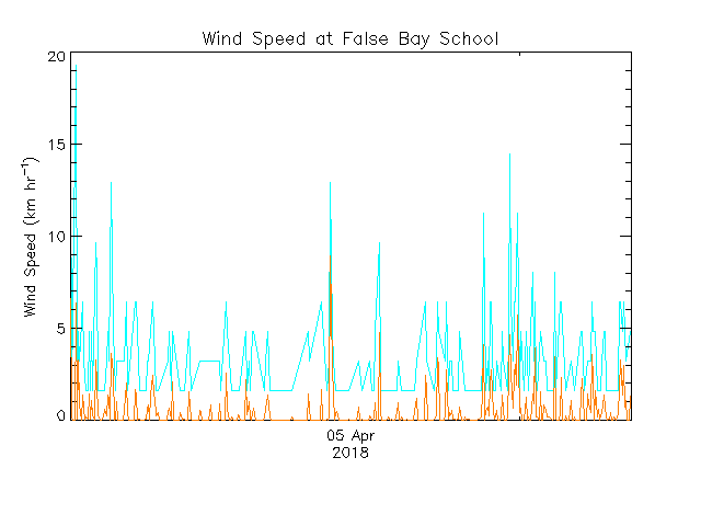  | |||
|
Clear Sky Chart (2012-11-23) |
Below is the weather, sky and atmospheric information for Lasqueti Island, which are useful for determining if conditions are good for astronomical observing and radio reception and transmission.
| |||
|
Last Updated on: 2014-10-18 | ||||
